Start with the return journey
A train-accessible walk can make a day outside feel simpler, but the railway station is only one part of the plan. You also need to know how the route leaves the station, how long the walk takes at your pace, where the path can become difficult and when the last practical train leaves. A beautiful photograph is not enough evidence that a route suits a first hike.
Choose the day before choosing the landscape. Check the current train service, planned engineering work, daylight, weather and any local route notices. Save the return options offline and allow time to reach the platform. A short walk that finishes near a station is often more useful for a beginner than a longer route with no easy way out.
Think about what “beginner” means for your group. A person who walks regularly on pavements may be comfortable with distance but less confident on uneven ground. Someone with strong hill fitness may still need a simple navigation plan. Choose a route where the surface, ascent, exposure and escape points match the least confident walker.
South Downs access near Lewes
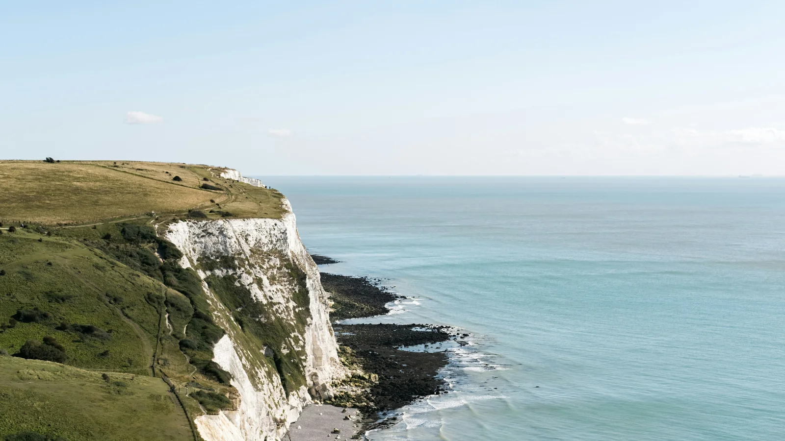
Lewes is a useful base for South Downs walks because the railway station connects the town with the surrounding landscape. From the town, routes can climb onto open chalk downland, follow sections of the South Downs Way or link with nearby villages. The exact walk depends on the station, weather and the return plan, so check the current map and local access information before setting out.
The appeal for a first walk is the combination of public transport and a choice of route lengths. You can plan a shorter out-and-back or a longer point-to-point walk if the train service and daylight allow. Open downland can feel exposed in wind or heavy rain, so pack a layer that protects against weather and do not judge the conditions only from the station.
Navigation is still important. A clear ridge path can include junctions, farm tracks and sections where several paths look similar. Carry a paper map or offline mapping route and know how to orient it. If the weather closes in, turn around while the route is still familiar rather than waiting until visibility is poor.
Malvern Hills from Great Malvern
Great Malvern station provides access to the Malvern Hills, where short ascents can lead to wide views across the surrounding countryside. A beginner can choose a lower or shorter route rather than committing to the entire ridge. Start with a map and note where the path climbs, where benches or roads provide a pause and how to return to the station without adding an unexpected loop.
The hills can feel more demanding than their distance suggests because the route rises quickly from the town. Wear shoes with a secure fit and a sole suited to grass, stone and wet paths. After rain, steep sections may be slippery. Do not treat a short route as automatically easy; ascent and surface change the effort.
Great Malvern also gives you a practical end to the day. You can plan food or a drink near the station, but check opening times rather than assuming every venue is available. A clear end point can make the route feel less pressured, especially for walkers who are unsure how long the return will take.
Peak District walks from Edale
Edale is a well-known access point for Peak District walking and is served by rail. It offers routes into open moorland and valleys, with options that range from a short village walk to more demanding climbs. For a first visit, choose a route with a clear turnaround point and avoid copying a long route simply because it appears in a list of famous walks.
Weather changes quickly on exposed ground. Wind, mist and rain can make navigation harder and can slow the group. Check the forecast for the hills rather than only the nearest town. Carry a waterproof layer, food, water and an offline map. If the cloud drops or the route becomes unclear, turn back while you still know where you are.
The train is part of the route plan. Check the last service, the frequency and any changes required. A walk that finishes late can leave little time for delays or a slow descent. If the group has mixed experience, choose a route that returns to Edale before everyone is tired, then keep a longer walk for a day with better conditions.
Yorkshire Dales routes near Settle
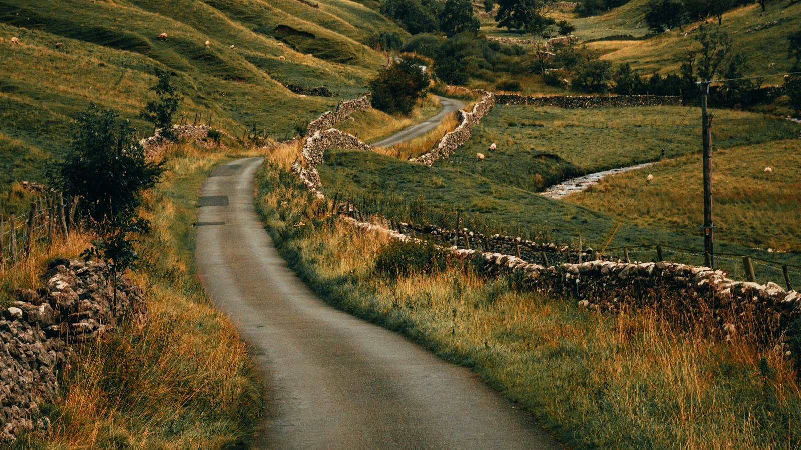
Settle is a practical railway base for exploring the Yorkshire Dales, with town services and countryside routes nearby. A first walk might follow a valley path, visit a viewpoint or link with a short section of a longer trail. Use current local information to check access, surfaces, livestock and the condition of any stiles or bridges.
The landscape can be open and beautiful, but distance between services may be greater than it looks on a photograph. Carry enough water and food for the route, and do not assume a village shop will be open when you need it. A map helps you see where roads, tracks and rivers create natural turning points.
If you choose a circular walk, check the final connection from Settle and leave a margin for the slower section at the end. If the route becomes tiring, a shorter out-and-back may be safer than continuing around a loop. Plan the route you can finish comfortably, not the one that looks most impressive on a screen.
Compare the routes by effort, not fame
A route name can hide the details that matter to a beginner. Compare distance, ascent, surface, exposure, navigation, train frequency and escape points. A flat path with a frequent train may be a better first hike than a famous summit with one late return. If someone in the group has a health or mobility concern, include the surface and access requirements in the decision.
Use the official park or trail information where possible, then check a current map and transport service. User-generated route descriptions can be useful for recent conditions, but they may be outdated or based on a faster walker. Treat any timing as an estimate and add time for rests, photographs, navigation and the least confident person.
Make a short comparison table before choosing:
- South Downs near Lewes: open views and flexible routes; exposed in poor weather.
- Malvern Hills from Great Malvern: easy rail access and a clear ridge; short climbs can be steep.
- Edale in the Peak District: many route choices; exposed weather and more demanding navigation.
- Settle in the Yorkshire Dales: valley and fell options; longer distances between services.
Pack for the day you may have
Comfortable walking shoes with a secure fit are more important than a new outfit. Add a waterproof layer, spare socks, food, water, a phone battery and a small first-aid kit. Carry a map or offline route and a written note of the station, return time and emergency contact. Keep the items you need during the walk near the top of the bag.
Pack for a change in weather even when the forecast looks kind. A warm layer can make a windy ridge manageable, and a rain cover or liner can protect your map and phone. Avoid carrying equipment you do not know how to use. A simple pack that stays comfortable is better than a heavy collection of products bought for one trip.
Tell someone your route and expected return, especially if you are walking alone or in a small group. Check the battery before leaving and keep the phone in an accessible place. If you lose the path, stop, look at the map and retrace the last clear point. Do not continue simply because the landscape appears to lead in the right direction.
Know when to turn around
Turning back is part of a successful hike. Do it when the weather worsens, daylight is shortening, a person is struggling, the route becomes unclear or the return train is at risk. A route is not a test you fail by stopping. The aim is to spend a good day outside and return safely.
Agree on a turnaround rule before setting off. For example, the group can stop if the visibility falls, if the least confident walker becomes uncomfortable or if the planned halfway time has passed. This removes the pressure to debate the decision when everyone is tired.
If someone becomes unwell, cold, injured or disoriented, prioritise shelter, communication and appropriate help. Do not rely on this article for emergency instructions. Carry a charged phone, know the local emergency process and follow advice from responsible authorities.
Make the first hike repeatable
After the walk, note what worked. Was the distance comfortable? Did the train connection leave enough time? Were the shoes suitable for the surface? Did the group need more food, a warmer layer or a shorter plan? These observations make the next walk easier to choose.
Repeatable walking is more valuable than a single ambitious day. A route that ends with enough energy for a meal and a relaxed train home can build confidence. Once the group understands its pace and preferences, you can choose longer or more exposed walks with better evidence.
Train-accessible UK hikes offer a useful way to leave the car behind and begin with a clear boundary: the station. Choose a route by effort, weather, transport and escape points, check official information on the day and turn back when the conditions stop matching the plan. The best first hike is one that makes you want to walk again.